Gateshead (East) and St Peter's 1895: Tyneside Sheet 19 - Old Ordnance Survey Maps of Tyneside (1981) Iain Watson Map 2 Revised Edition € 7,99
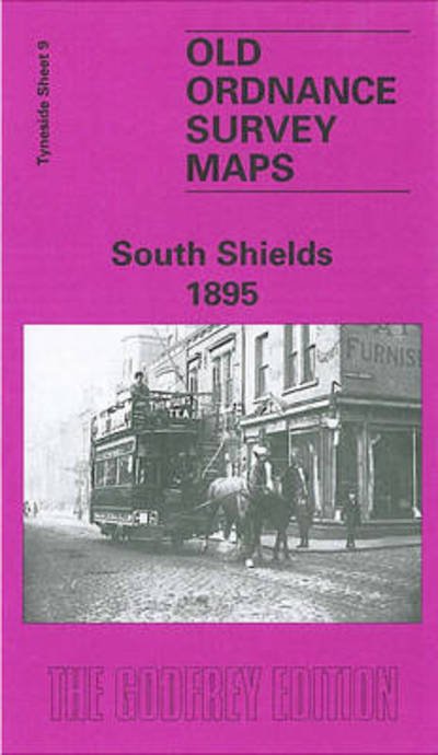
South Shields 1895: Tyneside Sheet 9 - Old Ordnance Survey Maps of Tyneside (1984) Roy Young Map Facsimile of 1895 Edition € 7,99
Sheffield 1903: Y294.08a - Old O.S. Maps of Yorkshire (1985) Ruth Harman Map Facsimile of 1903 Edition € 7,99
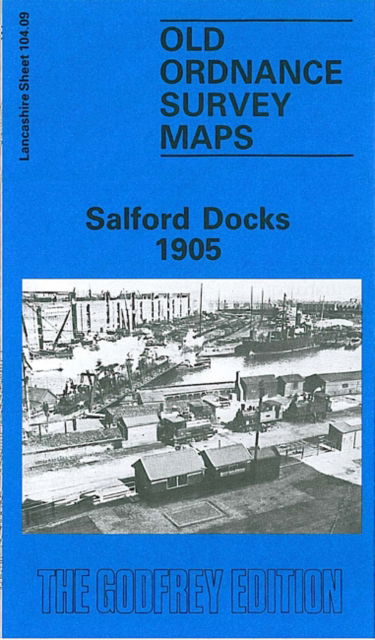
Salford Docks 1905: Lancashire Sheet 104.09 - Old O.S. Maps of Lancashire (1985) Chris Makepeace Map Facsimile of 1905 Edition € 7,99
East Dulwich and Peckham Rye 1868: London Sheet 117.1 - Old O.S. Maps of London (1986) Mary Boast Map Facsimile of 1868 Edition € 7,99
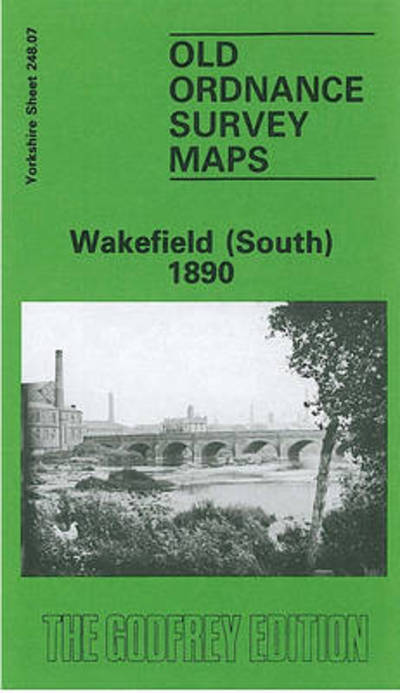
Wakefield (South) 1890: Yorkshire Sheet 248.07 - Old O.S. Maps of Yorkshire (1987) John Goodchild Map Facsimile of 1890 Edition € 7,99
Hull (Hessle Road) 1928: Yorkshire Sheet 240.06 - Old O.S. Maps of Yorkshire (1987) Arthur G. Credland Map Facsimile of 1928 Edition € 7,99
City of York and Clifton 1907: Yorkshire Sheet 174.06 - Old O.S. Maps of Yorkshire (1988) Alan Godfrey Map Facsimile of 1907 Edition € 7,99
Whitechapel, Spitalfields and the Bank 1873: London Sheet 063.1 - Old Ordnance Survey Maps of London (1988) Alan Godfrey Map Facsimile of 1873 Edition € 7,99
Manchester (Oxford Street and Gaythorn) 1849: Manchester Sheet 33 - Old Ordnance Survey Maps of Manchester (1988) Nick Burton Map Facsimile of 1849 Edition € 7,99
Manchester City Centre 1849: Manchester Sheet 28 - Old Ordnance Survey Maps of Manchester (1989) Nick Burton Map Facsimile of 1849 Edition € 7,99
Tipton 1904: Staffordshire Sheet 67.08 - Old O.S. Maps of Staffordshire (1989) Robin Pearson Map Facsimile of 1904 Edition € 7,99
Dudley Castle and Tipton Green 1901: Staffordshire Sheet 67.12 - Old O.S. Maps of Staffordshire (1989) Robin Pearson Map Facsimile of 1901 Edition € 7,99
Toxteth 1906: Lancashire Sheet 113.02 - Old O.S. Maps of Lancashire (1989) Naomi Evetts Map Facsimile of 1906 Edition € 6,49
The Falls 1931: Co Antrim Sheet 60.12 - Old Ordnance Survey Maps of County Antrim (1989) Ciaran Carson Map Facsimile of 1931 Edition € 7,99
Bootle 1907: Lancashire Sheet 106.02 - Old O.S. Maps of Lancashire (1990) Mike Greatbatch Map Facsimile of 1907 Edition € 7,99
Liverpool (North) 1906: Lancashire Sheet 106.10 - Old O.S. Maps of Lancashire (1990) Naomi Evetts Map Facsimile of 1906 Edition € 7,99
Manchester (Piccadilly) 1849: Manchester Sheet 29 - Old Ordnance Survey Maps of Manchester (1990) Chris Makepeace Map Facsimile of 1849 Edition € 7,99
Manchester (London Road) 1849: Manchester Sheet 34 - Old Ordnance Survey Maps of Manchester (1990) Chris Makepeace Map Facsimile of 1849 Edition € 7,99
Durham City 1894: Durham Sheet 27.01 - Old Ordnance Survey Maps of County Durham (1990) Alan Godfrey Map Facsimile of 1894 Edition € 7,99
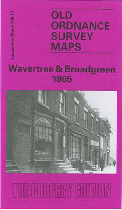
Wavertree and Broadgreen 1905: Lancashire Sheet 106.16 - Old O.S. Maps of Lancashire (1990) Kay Parrott Map Facsimile of 1905 Edition € 7,99
Aberdeen 1900: Aberdeenshire Sheet 75.11 - Old O.S. Maps of Aberdeenshire (1990) John Smith Map Facsimile of 1900 Edition € 7,99
Liverpool (Princes Park) 1905: Lancashire Sheet 113.03 - Old O.S. Maps of Lancashire (1991) Naomi Evetts Map Facsimile of 1905 Edition € 7,99
Huddersfield (South) 1905: Yorkshire Sheet 260.03 - Old O.S. Maps of Yorkshire (1991) G. C. Dickinson Map Facsimile of 1905 Edition € 7,99
Castlefield 1848: Manchester Sheet 32 - Old Ordnance Survey Maps of Manchester (1991) Chris Makepeace Map Facsimile of 1848 Edition € 7,99
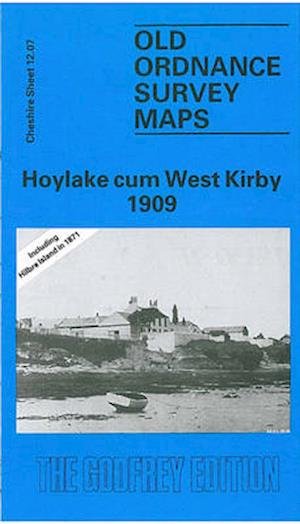
Hoylake Cum West Kirby 1909: Cheshire Sheet 12.07 - Old O.S. Maps of Cheshire (1991) David Thompson Map Facsimile of 1909 Edition € 7,99
Stockton-on-Tees and Thornaby 1897: Durham Sheet 50.16 - Old Ordnance Survey Maps of County Durham (1993) Robert Woodhouse Map Facsimile of 1897 Edition € 7,99
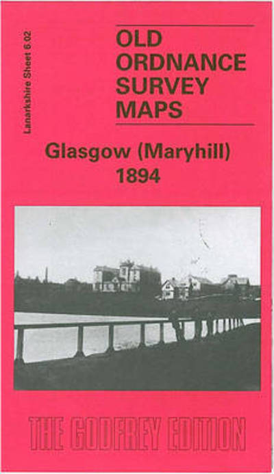
Maryhill 1894: Lanarkshire Sheet 6.02 - Old O.S. Maps of Glasgow (1994) Gilbert Bell Map Facsimile of 1894 Edition € 7,99
Anfield 1908: Lancashire Sheet 106.07 - Old O.S. Maps of Lancashire (1994) Naomi Evetts Map Facsimile of 1908 Edition € 7,99
Salford (Adelphi) 1848: Manchester Sheet 23 - Old O.S. Maps of Manchester and Salford (1994) Nick Burton Map Facsimile of 1848 Edition € 7,99
Wolverhampton (North West) 1901: Staffordshire Sheet 62.06 - Old O.S. Maps of Staffordshire (1994) John Boynton Map Facsimile of 1901 Edition € 7,99
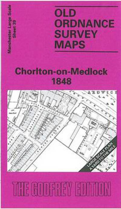
Chorlton-on-Medlock 1848: Manchester Sheet 39 - Old Ordnance Survey Maps of Manchester (1995) Chris Makepeace Map Facsimile of 1848 Edition € 7,99
Hulme: St.George's 1849: Manchester Sheet 37 - Old Ordnance Survey Maps of Manchester (1995) Chris Makepeace Map Facsimile of 1849 Edition € 7,99
Cradley Heath and Old Hill 1901: Staffordshire Sheet 71.08 - Old O.S. Maps of Staffordshire (1995) Robin Pearson Map Facsimile of 1901 Edition € 7,99
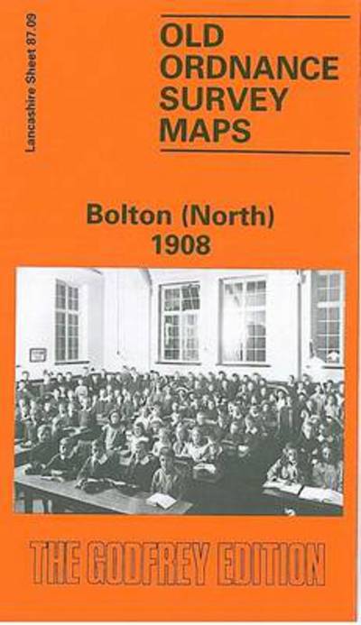
Bolton (North) 1908: Lancashire Sheet 87.09 - Old O.S. Maps of Lancashire (1995) Nick Burton Map Facsimile of 1908 Edition € 7,99
Bermondsey and Wapping 1872: London Sheet 077.1 - Old O.S. Maps of London (1995) Stephen Humphrey Map Facsimile of 1872 Edition € 7,99
Lincoln 1905: Lincolnshire Sheet 070.07 - Old Ordnance Survey Maps of Lincolnshire (1996) Richard Oliver Map Facsimile of 1905 Edition € 7,99
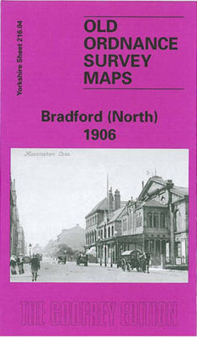
Bradford (North) 1906: Yorkshire Sheet 216.04 - Old O.S. Maps of Yorkshire (1996) G. C. Dickinson Map Facsimile of 1906 Edition € 7,99
Peebles 1906: Peeblesshire Sheet 13.06 - Old O.S. Maps of Peeblesshire (1996) Barbara Morris Map Facsimile of 1906 Edition € 7,99
Willenhall (NW) and Wednesfield 1901: Staffordshire Sheet 62.08 - Old O.S. Maps of Staffordshire (1997) Horace Davis Map Facsimile of 1901 Edition € 7,99
Kirkdale 1906: Lancashire Sheet 106.06 - Old O.S. Maps of Lancashire (1997) Naomi Evetts Map Facsimile of 1906 Edition € 7,99
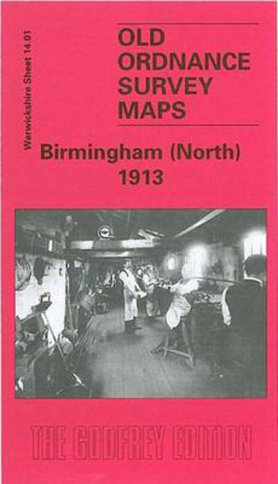
Birmingham (North) 1913: Warwickshire Sheet 14.01 - Old Ordnance Survey Maps of Warwickshire (1997) John Boynton Map Facsimile of 1913 Edition € 7,99
Central Nottingham 1899: Nottinghamshire Sheet 42.02 - Old O.S. Maps of Nottinghamshire (1997) Alan Godfrey Map Facsimile of 1899 Edition € 7,99
Walton on the Hill 1906: Lancashire Sheet 106.03 - Old O.S. Maps of Lancashire (1997) Kay Parrott Map Facsimile of 1906 Edition € 7,99
Nottingham (South) 1899: Nottinghamshire Sheet 42.06 - Old O.S. Maps of Nottinghamshire (1998) Alan Godfrey Map Facsimile of 1899 Edition € 7,99
Aintree 1906: Lancashire Sheet 99.11 - Old O.S. Maps of Lancashire (1998) Kay Parrott Map Facsimile of 1906 Edition € 7,99
Westminster and Victoria 1916: London Sheet 075.3 - Old O.S. Maps of London (1998) Isobel Watson Map Facsimile of 1916 Edition € 7,99
Oldham (South) 1906: Lancashire Sheet 97.10 - Old O.S. Maps of Lancashire (1998) Kevin McPhillips Map Facsimile of 1906 Edition € 7,99
Bristol (SW) & Bedminster 1902: Gloucestershire Sheet 75.04 - Old O.S. Maps of Gloucestershire (1998) Alan Godfrey Map Facsimile of 1902 Edition € 7,99
Cardiff and District 1890: One Inch Sheet 263 - Old O.S. Maps of Wales (1999) Map New ed of 1890 Edition € 7,99
Euston and Regent's Park 1870: London Sheet 049.1 - Old Ordnance Survey Maps of London (2000) Malcolm Holmes Map Facsimile of 1870 Edition € 7,99
Gateacre 1904: Lancashire Sheet 114.01 - Old O.S. Maps of Lancashire (2000) Kay Parrott Map Facsimile of 1904 Edition € 7,99
Chadderton 1907: Lancashire Sheet 97.05 - Old O.S. Maps of Lancashire (2000) Alan Godfrey Map Facsimile of 1907 Edition € 7,99
Bootle (North) 1906: Lancashire Sheet 99.14 - Old O.S. Maps of Lancashire (2000) Mike Greatbatch Map Facsim of 1906 Edition € 7,99
Warrington 1905: Lancashire Sheet 116.01 - Old O.S. Maps of Lancashire (2000) Alan Godfrey Map Facsimile of 1905 Edition € 7,99
Wakefield and District 1907: One Inch Sheet 078 - Old Ordnance Survey Maps - Inch to the Mile (2000) John Goodchild Map € 7,99
Garston 1904: Lancashire Sheet 113.12 - Old O.S. Maps of Lancashire (2000) Kay Parrott Map Facsimile of 1905 Edition € 9,49
Wellingborough, Rushden and District 1897: One Inch Map 186 - Old Ordnance Survey Maps of England & Wales (2000) Barrie Trinder Map € 7,99
Cannock Chase and SE Staffordshire 1898: One Inch Map 154 - Old Ordnance Survey Maps of England & Wales (2001) John Boynton Map Facsimile of 1898 Edition € 7,99
Nottingham and District 1906: One Inch Map 126 - Old O.S. Maps of England and Wales (2001) Alan Sillitoe Map Facsimile of 1906 Edition € 7,99
Birmingham (East) 1901: Warwickshire Sheet 14.09 - Old Ordnance Survey Maps of Warwickshire (2001) Richard Abbott Map Facsimile of 1901 Edition € 7,99
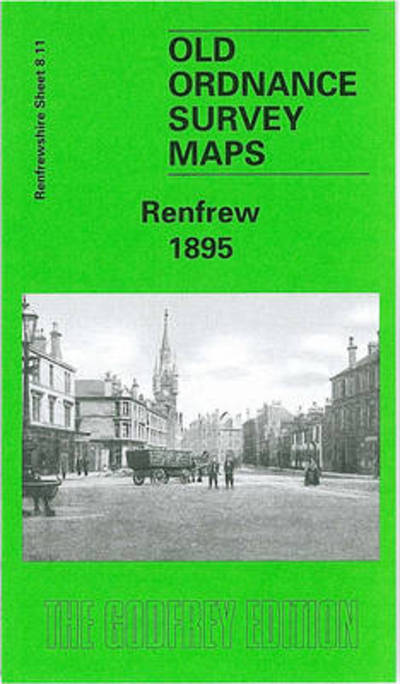
Renfrew 1895: Renfrewshire Sheet 8.11 - Old Ordnance Survey Maps of Renfrewshire (2002) Gilbert T. Bell Map Facsimile of 1895 Edition € 7,99
Altrincham (North) and Broadheath 1897: Cheshire Sheet 18.02 - Old O.S. Maps of Cheshire (2002) Chris Makepeace Map Facsimile of 1897 Edition € 6,99
Bristol (St.George) 1902: Gloucestershire Sheet 72.14 - Old O.S. Maps of Gloucestershire (2002) Mike Bone Map Facsimile of 1902 Edition € 7,99
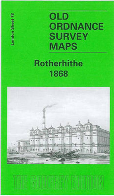
Rotherhithe 1867: London Sheet 078.1 - Old Ordnance Survey Maps of London (2002) Bernard Nurse Map Facsimile of 1868 Edition € 7,99
Birmingham (West) 1914: Warwickshire Sheet 13.08 - Old O.S. Maps of Warwickshire (2003) Alan Godfrey Map Facsimile of 1914 Edition € 7,99
Maghull (South) 1906: Lancashire Sheet 99.03 - Old Ordnance Survey Maps of Lancashire (2003) Roger Hull Map € 7,99
Nottingham (North) 1913: Nottinghamshire Sheet 38.14 - Old Ordnance Survey Maps of Nottinghamshire (2003) Ron Blake Map € 7,99
Manchester (Clayton) 1932: Lancashire Sheet 104.08 - Old O.S. Maps of Lancashire (2003) Chris Makepeace Map € 6,49
Liverpool and The Wirral 1904: One Inch Sheet 096 - Old Ordnance Survey Maps - Inch to the Mile (2003) Derrick Pratt Map € 7,99
Liverpool (Dale Street) 1848-64: Liverpool Sheet 24 - Old O.S. Maps of Liverpool (2004) Kay Parrott Map € 7,99
Prestwich 1915: Lancashire Sheet 96.09 - Old O.S. Maps of Lancashire (2004) Chris Makepeace Map € 7,99
Sheffield and District 1907: One Inch Sheet 100 - Old Ordnance Survey Maps - Inch to the Mile (2005) Melvyn Jones Map € 7,99
Leeds, Wetherby and District 1910: One Inch Sheet 070 - Old Ordnance Survey Maps - Inch to the Mile (2005) John Griffiths Map € 7,99
The Lower Mersey, Runcorn and Warrington 1913: One Inch Sheet 097 - Old Ordnance Survey Maps - Inch to the Mile (2005) Alan Crosby Map € 7,99
Leeds (Town Hall and Park Square) 1847-63: Leeds Sheet 10 - Old O.S. Maps of Leeds (2006) G. C. Dickinson Map € 7,99
Nottingham NW 1913: Nottinghamshire Sheet 38.13 - Old Ordnance Survey Maps of Nottinghamshire (2006) Ron Blake Map € 7,99
Hampton Court and East Molesey 1912: Surrey Sheet 12.13 - Old Ordnance Survey Maps of Surrey (2006) Alan Godfrey Map € 7,99
Liverpool Pierhead, Prince's and George's Docks 1850-64: Liverpool Sheets 23 and 28 (2006) Kay Parrott Map € 7,99
Hull (West) 1908: Yorkshire Sheet 240.02 - Old Ordnance Survey Maps of Yorkshire (2006) Alan Godfrey Map € 7,99
Hull (East) 1908: Yorkshire Sheet 240.03 - Old Ordnance Survey Maps of Yorkshire (2007) Susan Neave Map Facsimile Edition € 7,99
Liverpool (Great Howard Street) 1864: Liverpool Sheet 18 - Old Ordnance Survey Maps of Liverpool (2007) Kay Parrott Map € 7,99
Bolton (East) 1908: Lancashire Sheet 87.14 - Old Ordnance Survey Maps of Lancashire (2007) Alan Godfrey Map € 7,99
Glasgow (St Rollox) 1933: Lanarkshire Sheet 6.07 - Old Ordnance Survey Maps of Lanarkshire (2007) Gilbert Torrance Bell Map € 7,99
Liverpool (Vauxhall) 1864: Liverpool Sheet 19 - Old Ordnance Survey Maps of Liverpool (2007) Kay Parrott Map € 7,99
Liverpool (Shaw Street) 1848: Liverpool Sheet 20 - Old Ordnance Survey Maps - Yard to the Mile (2008) Kay Parrott Map € 7,99
Stockport Town Centre 1873: Stockport Sheet 8 - Old Ordnance Survey Maps of Stockport - Yard to the Mile (2008) Chris Makepeace Map € 7,99
Liverpool (Wapping) 1849-64: Liverpool Sheet 34 - Old Ordnance Survey Maps - Yard to the Mile - of Liverpool (2008) Kay Parrott Map € 7,99
Stockport (East) 1897: Cheshire Sheet 10.16 - Old Ordnance Survey Maps of Cheshire (2009) Chris Makepeace Map € 7,99
Altrincham 1908: Cheshire Sheet 18.06 - Old Ordnance Survey Maps of Cheshire (2010) Chris Makepeace Map € 7,99
Nottingham (Arnold & Daybrook) 1899: Nottinghamshire Sheet 38.06 - Old Ordnance Survey Maps of Nottinghamshire (2010) Barrie Trinder Map Facsimile Edition € 7,99
Govan 1894: Lanarkshire Sheet 06.09a - Old Ordnance Survey Maps of Lanarkshire (2011) Gilbert Bell Map € 7,99