Vertel uw vrienden over dit artikel:
Development of a forest fire risk map Ahmed Dahmeni
Prijs
€ 35,49
Besteld in een afgelegen magazijn
Verwachte levering 19 - 27 nov.
 Kerstcadeautjes kunnen tot en met 31 januari worden ingewisseld

Ontvang meldingen over nieuwe releases van Ahmed Dahmeni
Onze klanten zeggen:


Voeg toe aan uw iMusic-verlanglijst
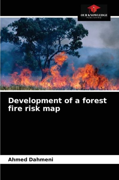
Development of a forest fire risk map
Ahmed Dahmeni
We tried in this project to establish a risk map of forest fires in the governorate of Ariana by combining all the factors involved in the risk assessment based on information derived from the results of processing and operations performed on topographic maps and satellite images. Indeed, remote sensing and geographic information system can provide useful information and valuable assistance to foresters in decision-making in disaster management.
| Media | Boeken Paperback Book (Boek met zachte kaft en gelijmde rug) |
| Vrijgegeven | 15 april 2021 |
| ISBN13 | 9786203550917 |
| Uitgevers | Our Knowledge Publishing |
| Pagina's | 80 |
| Afmetingen | 152 × 229 × 5 mm · 127 g |
| Taal en grammatica | Engels |