Vertel uw vrienden over dit artikel:
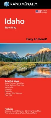
Rand McNally Easy to Read Folded Map: Idaho State Map
 Kerstcadeautjes kunnen tot en met 31 januari worden ingewisseld

Onze klanten zeggen:


Rand McNally Easy to Read Folded Map: Idaho State Map
Rand McNally
Rand McNally's Easy To Read State Folded Map is a must-have for anyone traveling in and around Idaho, offering unbeatable accuracy and reliability at a great price. Our trusted cartography shows all Interstate, U. S., state, and county highways, along with clearly indicated parks, points of interest, airports, county boundaries, and streets. The easy-to-use legend and detailed index make for quick and easy location of destinations. You'll see why Rand McNally folded maps have been the trusted standard for years. -Regularly updated, full-color maps. -128% larger map with a bigger type size than the Rand McNally Folded Map. -Clearly labeled Interstate, U. S., state, and county highways. - Indications of parks, points of interest, airports, county boundaries, and more. -Mileage and driving times map. -Detailed index. -Convenient folded size. Coverage Area: Detailed maps of Boise/Nampa/Meridian, Coeur d'Alene, Idaho Falls, Lewiston, Pocatello, Twin Falls, Yellowstone & Grand Teton National Parks. Product Details: Dimensions (unfolded): 28 x 40. 1 inch = 10 miles.
| Media | Boeken Map (Land- of zeekaarten) |
| Vrijgegeven | 6 augustus 2021 |
| ISBN13 | 9780528024542 |
| Uitgevers | Rand McNally |
| Afmetingen | 102 × 239 × 8 mm · 250 g (Gewicht (geschat)) |
| Taal en grammatica | Engels |